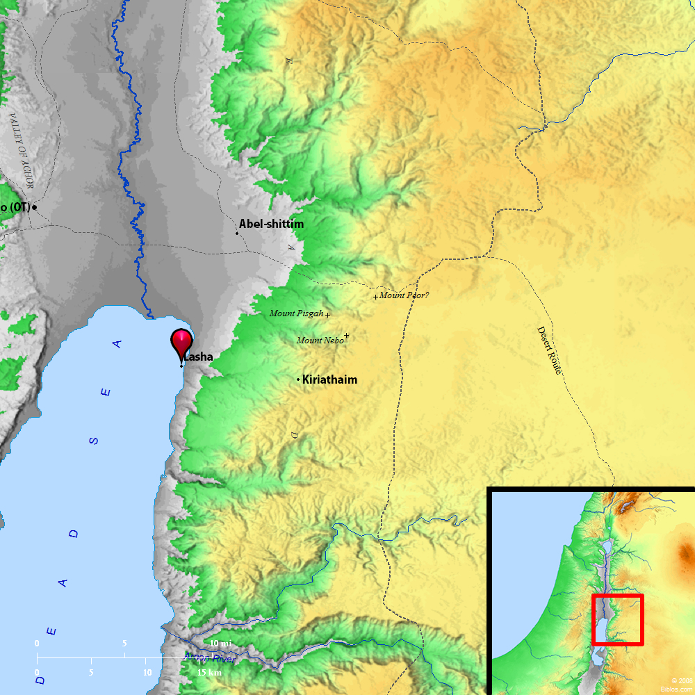
Atlas  Lasha and surrounding region Maps Created using Biblemapper 3.0 Additional data from OpenBible.info You are free to use up to 50 Biblos coprighted maps (small or large) for your website or presentation. Please credit Biblos.com. Occurrences Genesis 10:19 The border of the Canaanites was from Sidon, as you go toward Gerar, to Gaza; as you go toward Sodom, Gomorrah, Admah, and Zeboiim, to Lasha.Encyclopedia LASHAla'-sha (lasha`): A place named on the southern boundary of the Canaanites along with Gomorrah, Adnah and Zeboiim (Genesis 10:19). Eusebius, Onomasticon identifies it with the hot springs at Callirrhoe in Wady Zerqa Ma`in, on the East of the Dead Sea; in this agreeing with Targum Jerusalem. This position, however, seems too far to the North, and possibly the site should be sought on the West of the Arabah. The absence of the article (compare Joshua 15:2) prevents identification with the promontory el-Lisan, which runs into the sea from the eastern shore. Wellhausen (Comp. des Hexateuch., 15) thinks we should read lesham, since the Hebrew letters, "m" (mem) and " ` " (`ayin), are like each other in their Palmyrene form. We should then have indicated the boundary from Gaza to the Dead Sea, and then from the Dead Sea to Leshem, i.e. Dan. This is very precarious. No identification is possible. LA'SHA, Callirrhoe was its Greek name, meaning "warm springs," 12 ms. s.e. of the mouth of the Jordan, 4 ms. e. of the Dead Sea, in the valley of the river Zerka ma'in, 28 ms. e.s.e. from Jerusalem. Strong's Hebrew H3962: Leshaa place on the boundary of Canaan |


