Atlas

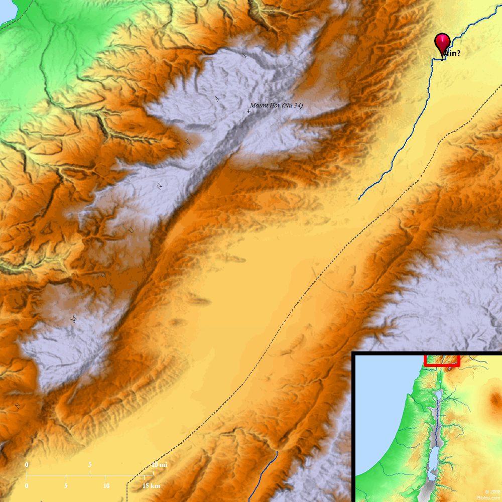
Shepham (Ain) and surrounding region
Maps Created using Biblemapper 3.0Additional data from OpenBible.info
You are free to use up to 50 Biblos coprighted maps (small or large) for your website or presentation. Please credit Biblos.com.
Occurrences
Numbers 34:10 "'You shall mark out your east border from Hazar Enan to Shepham;
Numbers 34:11 and the border shall go down from Shepham to Riblah, on the east side of Ain; and the border shall go down, and shall reach to the side of the sea of Chinnereth eastward;
Encyclopedia
AIN (2)a'-in (`ayin, "eye or spring (of water)"):
(1) A town in the extreme Northwest corner of Canaan, so named, most probably, from a noted spring in the vicinity (Numbers 34:11). Thomson and after him Robinson make Ain the same as `Ain el-`Asy, the chief source of the Orontes, some fifteen miles Southwest of Riblah, which, in turn, is about twenty miles Southwest of Emesa (Hums). As Ain is named in connection with Lake Gennesaret, some claim that Riblah of Numbers 34:11 must be another place farther South and closer to that lake.
(2) A Levitical city (Joshua 21:16) in the Negeb or southern part of Judah. It was first allotted to the tribe of Judah (Joshua 15:32) but later to Simeon (Joshua 19:7). The fact that it is several times named in immediate connection with Rimmon has lent plausibility to the view that we have here a compound word, and that we should read En-Rimmon, i.e. Ain-Rimmon (see Joshua 15:32; Joshua 19:7 1 Chronicles 4:32). See also AYIN.
W. W. Davies
Strong's Hebrew
H8221: Shephama place on the E. border of Isr.


